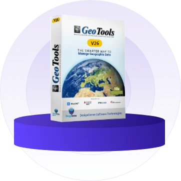
Latest GeoTools V 26.11
30-day Trial Downloads
30-day Trial Downloads

GeoTools V 26.11 is a geo-data application that is useful to view, create, modify, analyze and report on CAD data that is geographic in nature.
- Supports BricsCAD, AutoCAD, Ares Commander and ZWCAD
- Tools for layer management, drawing cleanup, and geometry editing
- Multi-language support
- GeoTools now offers a unified installer, which is the same for all languages.
The software first installs in English version and you can change it to DE, ES or PTB using the GT_LANGSWITCH command or from the pull-down menu / ribbon:
GeoTools -> More options-> Change operating language
GeoTools -> More options-> Change operating language
